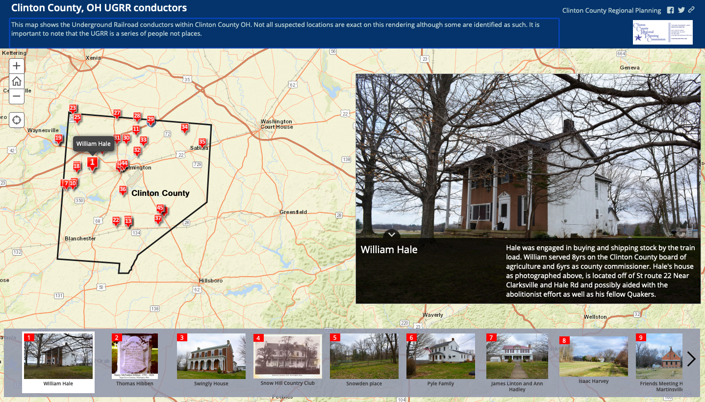
Ever wondered about Clinton County’s connection to the Underground Railroad? The Underground Railroad was a network of secret routes and safe houses established in the United States during the early to mid-19th century, and used by enslaved African-Americans to escape into free states and Canada. As a result of the county’s Quaker and Society of the Friends roots, many conductors resided in the area. This detailed interactive map provided by the Clinton County Regional Planning Commission helps viewers visualize the UGRR and residences of suspected conductors.
Click here for the UGRR map: https://www.arcgis.com/apps/MapTour/index.html?appid=beae1f59c9594ad99cf0fd8631dd9627&fbclid=IwAR3nv91xDjZpzyUPBhcfWTDBzuvA3N5VOHdtDb5a5x5CckEdA493FSQ8P9M